(click on pics to enlarge)


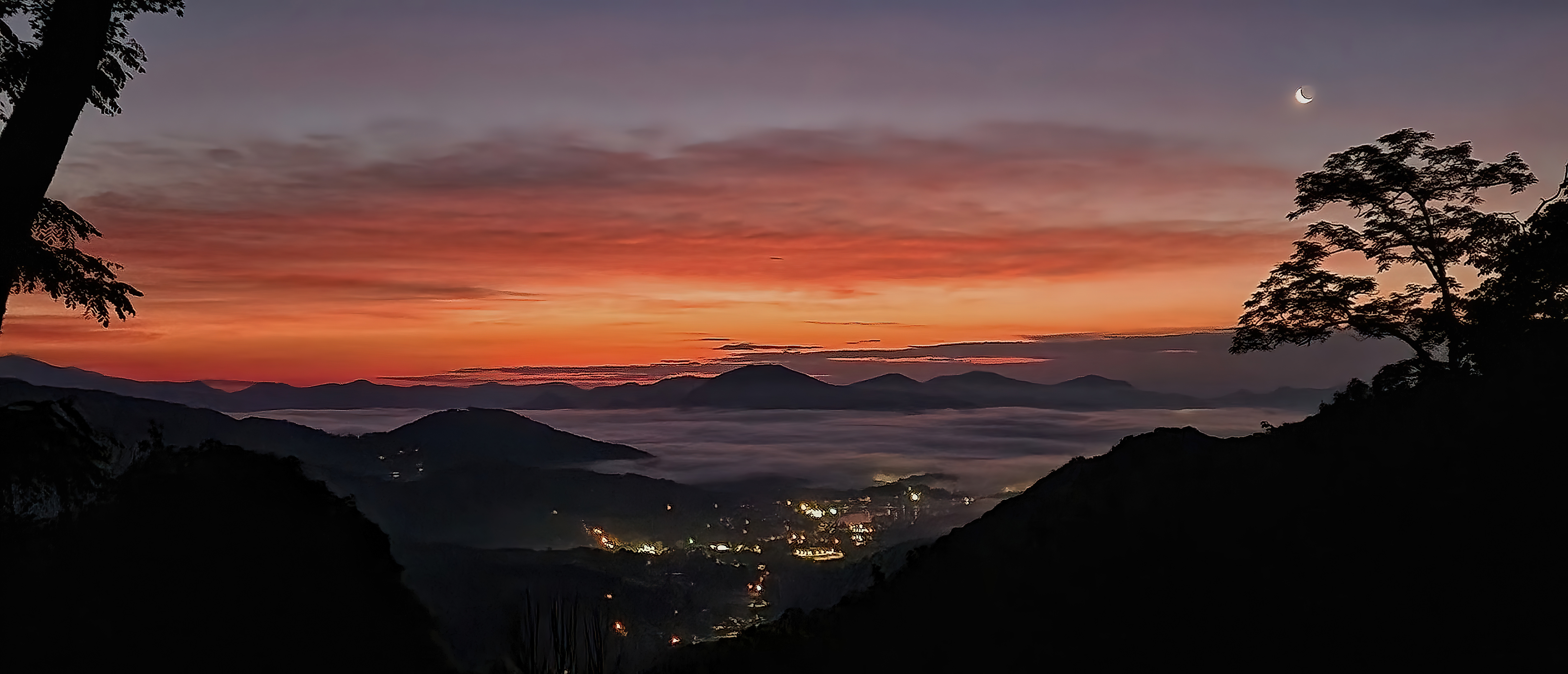

I've been meaning to post an update for a while, but I have had very little shareable news come my way. Nonetheless, there are some things worth mentioning, so I figured I'd start with some sunrises/dawns from home. Now that school is out and I'm not leaving the mountain at O'dark-thirty to drive a yellow tin can, I get to enjoy the beginning of new days. Around 5:30am the birds start singing en force, and the lanscape begins to slowly brighten. A lot of mornings it is a subtle transition, while others make a postcard. My favorite of the shots above is the third one down, with the crescent moon hanging above the skyglow above Lake Junaluska. Coffee seems to taste extra nice then, too. :-)
-----------------------------------------------
Over the past weeks we've had some good rains, and if Staymon Road is any indication, the grading/rolling of our side roads some time ago took very, very well. Very happy to see that. I also want to thank everyone for their patience with Apple Creek Road closing part of a day to put in the culvert down low...when paving takes place, that little ditch will be filled in, of course. Gravel put in there did get washed out in one of our downpours.
Here's the thing about any roads, but especially our roads: Water is the number one source of deterioration and damage, and must be controlled and channeled as needed to protect the road sides and bed. That trouble gets compounded with freezing temperatures and water crossing the road, for obvious reasons.
-----------------------------------------------------
The upcoming HOA Annual Meeting in either late August or early September. I mentioned this before, and some of you have talked about it. All along our board is staffed with those that volunteer to fill the positions of president, vie-president, treasurer, and secretary, for the minimum. You get lot dues paid (for one lot) by doing so, and the majority of work concerns paving/grading, and winter weather issues. There are other things, of course, like lot owners that refuse to pay dues, but there is a retained lawyer to handle that. The past few years, very few have stepped forward, which means the former board stays in place. I think I speak for them to say they need a break as they've been in place a few years. BUT...and this is a seriously big 'but'...
We in Apple Creek HOA are a lot closer than we think to having an outside third party take over the HOA, which is done in many areas. Rest assured this will cause bigger issues, among others the jacking up of annual fees. Our current $300/year fee per lot is a steal of a deal, hands down, and one of the least expensive around. Do we really want to start paying $1,000 or more annually, which is an entirely reasonable outcome? I'm hoping we will have those interested to let it be known. Throwing it out there for now...
-------------------------------------------------------===

On a lighter note, the first Friday of each month from May through December, downtown Waynesville has "Art After Dark" from 6p-9p. A lot of galleries are open, and a few stores, as well, often with light snacks (I can never spell the horse-doober word!). Friday July 5, I will be playing and demonstrating with my Native American style flutes that I've been making for 22 years, at the Haywood County Arts Council storefront (86 North Main Street). For those that live near me, you have heard flute music lilting through the air at times. If you're out and about, please stop by and say howdy!
---------------------------------------------------------------

And ending on an even lighter note, bears on your deck are one thing....but how about a turkey on your car? She was nice enough to leave a greeting card when she flew away... :-/
Bob


-SharpenAI-focus.jpg)
