I didn't bother to talk about Wednesday's chance for strong to severe storms earlier because with the incoming storm direction coupled with the height of the Smokies and the Plott Balsams, many storms are prone to get worn down in severity as they pass through here....or at least the storms get broken up and the severe parts are spotty in nature.
Be that as it may, it might be boisterous here tomorrow afternoon and evening, with strong straight line winds and hail the bigger concern. ACA has just been dropped back to "slight" chance for severe...but it will still be very windy, which could lead to downed trees and power outages. Tie that in with continuing strong winds for a day and a half, incoming cold, highs staying in the 40s Thursday and Friday, and a rain-snow mix that may well go to all snow above 3500' late Thursday closer to midnight through early Friday...it's an UGH situation all around the board.
Good news is the ground will be warm, so not anticipating icy roads. Slushy, maybe, and that's plenty slippery, but afternoon highs at least go nicely above freezing to help keep roads good. I still could see 1-2" for ACA, especially above the blue roof house. The "sleepy" NAM has gone bonkers pushing 4-5" here, but the more 'steady' GFS is keeping us in the dusting-2" which is what makes more sense. (Amounts listed still holding at this update.)
Early April has given us big snows going back in years, so this is a minor event, truly. I just want to get information out for those that might not have 4WD vehicles that need to move around. Winter coats will be appreciated with the windy cold conditions soon to be here.
On a brighter note, I took some pics this afternoon of the early, mostly 'white' wildflowers now out. Even saw the buds to the deep purple Dwarf Larkspur waiting to bloom later. Pics below (click to enlarge):
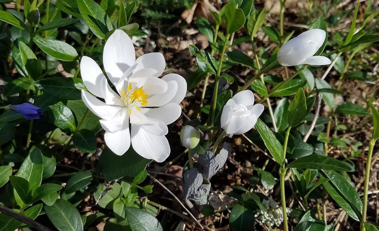 |
| Bloodroot |
 |
| Spring Beauty |
 |
| Cut-leaved Toothwort |
No comments:
Post a Comment